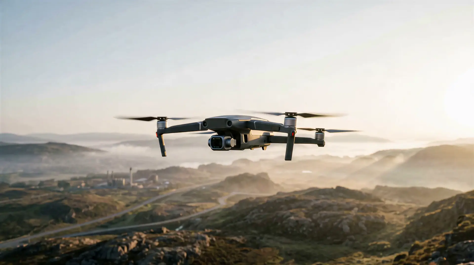
See beyond
the surface.
Aerial intelligence for the real world
Capture.
Analyze.
Scroll to fly
01 — ServicesWhat we do
What we do
from above
Five disciplines, one vantage point. Every flight is planned, flown and processed to deliver usable answers — not just imagery.
01
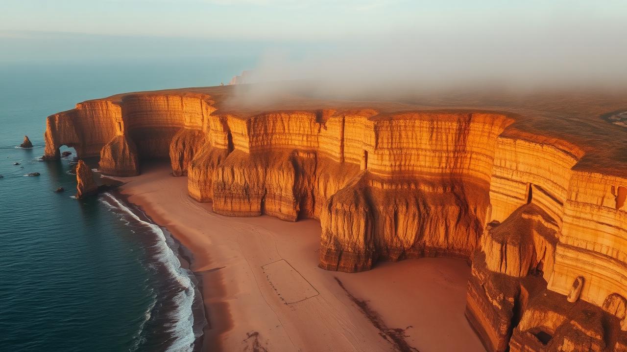
Aerial Photography
Stills / Motion
02
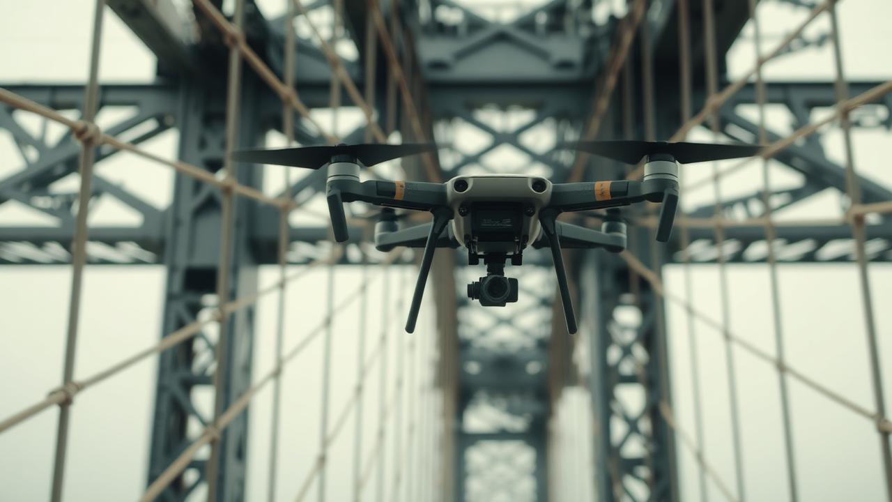
Inspection
Infrastructure / Energy
03
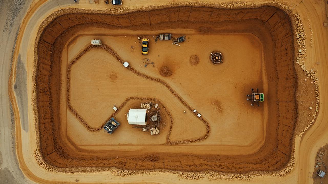
Surveying
Terrain / Volumetrics
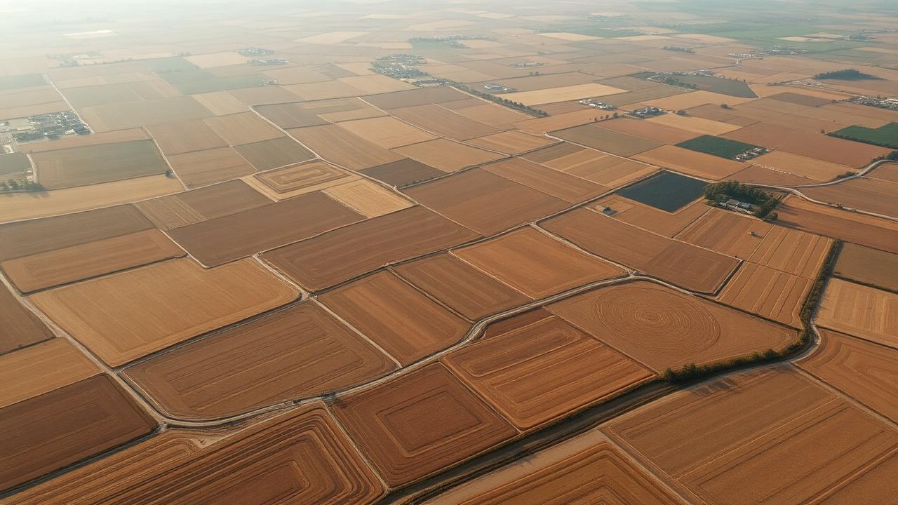
04
Mapping
Orthomosaic / GIS
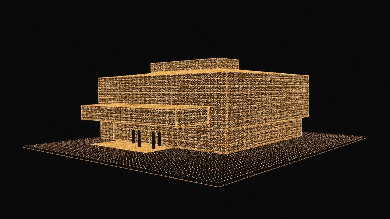
05
3D Reconstruction
Photogrammetry / Digital Twin
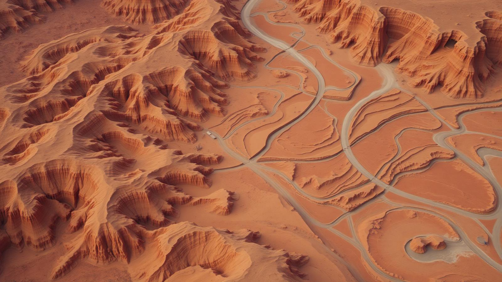
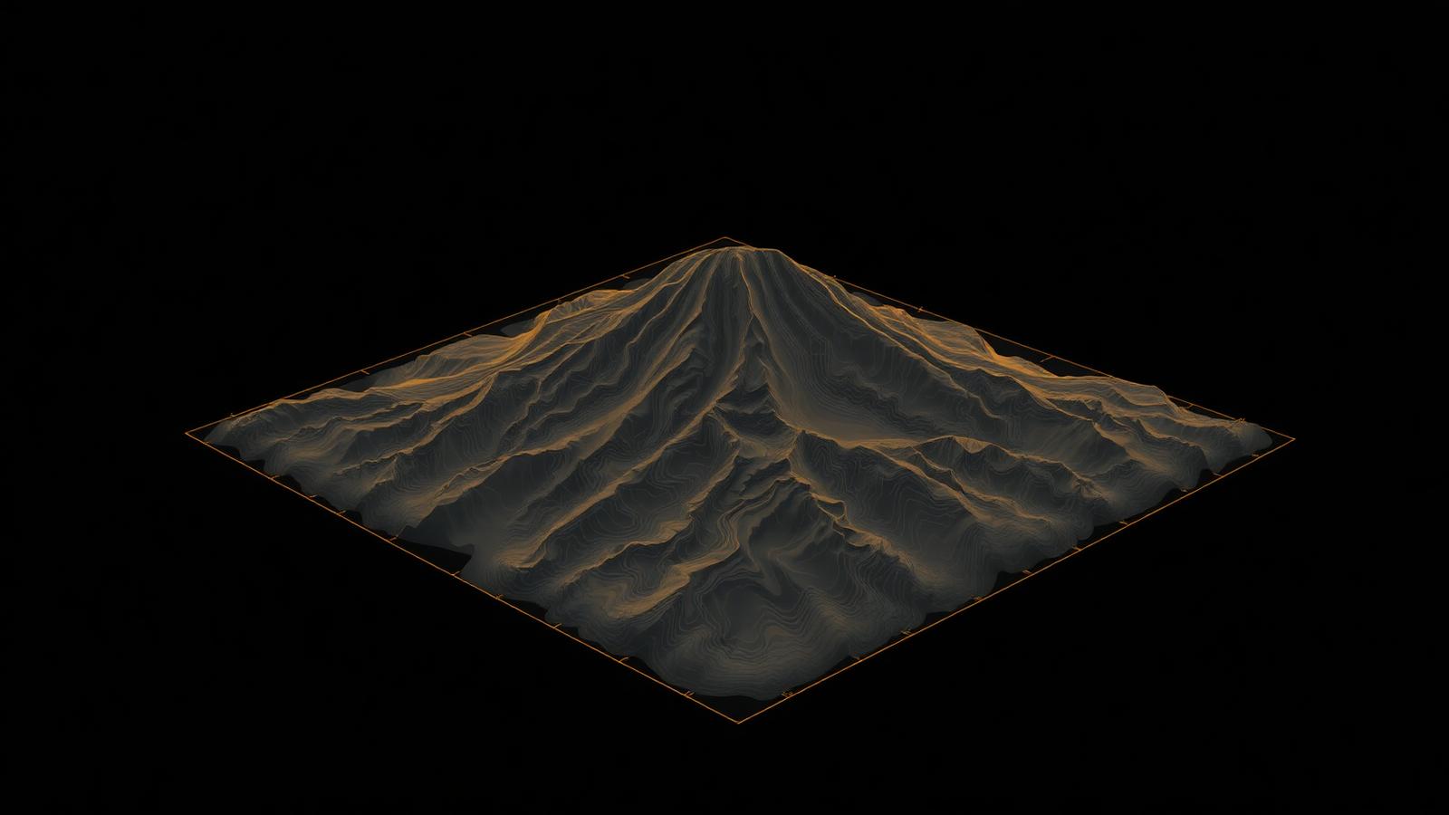
Δ 84.2 MGRID 0.5 MEPSG:2056
02 — Reality → DataFrom reality
From reality
to data.
- 01Real World→
- 02Capture→
- 03Process→
- 04Digital Model→
- 05Insight
03 — CapabilitiesPrecision is
Precision is
the product
- 014K+ Aerial Imaging5.1K / 48 MP / RAW
- 02High-Resolution MappingGSD up to 1 cm/px
- 03Infrastructure InspectionRGB + Thermal
- 043D ReconstructionPhotogrammetry / LiDAR-grade mesh
- 05Rapid DeploymentOn site within 24 h
04 — Projects
Selected work
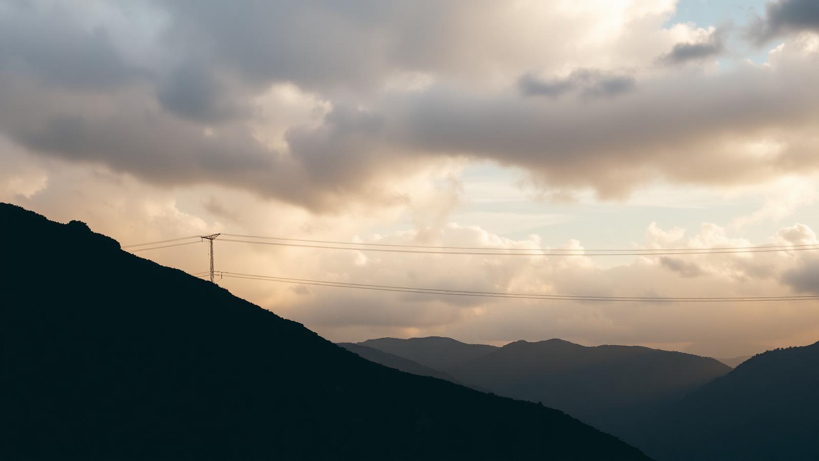
Project 01
Ridgeline Corridor
- Location
- Graubünden, CH
- Service
- Inspection
- Year
- 2026
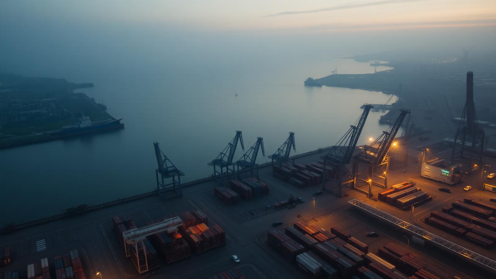
Project 02
Harbor Expansion
- Location
- Rotterdam, NL
- Service
- Mapping
- Year
- 2025
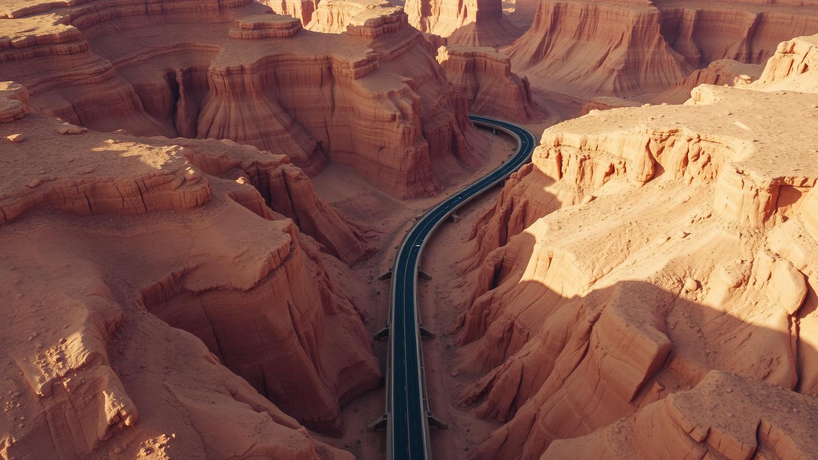
Project 03
Canyon Highway
- Location
- Moab, US
- Service
- Surveying
- Year
- 2025